I thru-hiked the CDT southbound from June to October in 2019. Contrary to northbound hiking conditions, going south on the CDT this year was about as good as it gets. No snow challenges, moderate daily and night-time temperatures, and no wildfires along the corridor as I passed through. I actually did not have a single night below freezing, sleeping at elevations that ranged from around 4,500ft to 12,500ft. The main challenge for a SOBO is completing Colorado by Oct. 1st, preferably a little earlier, before the heavy snow begins. Snow can happen in northern New Mexico, but the elevation trends down from there, and is more kind than the southern San Juans in CO.
Montana
So howl away you old coyote
I hear your sad and lonesome song
You’re calling me back to old Montana
Back to those hills where I belong

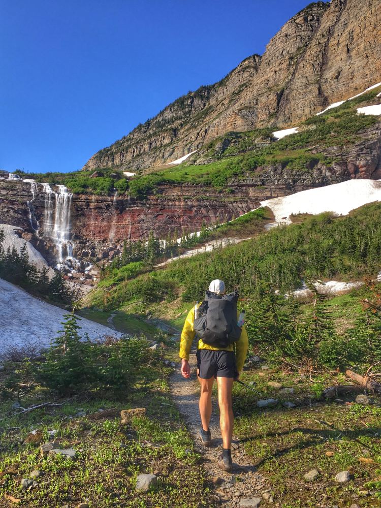
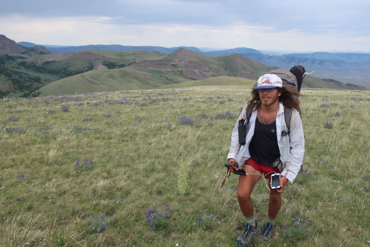
I started my hike at the Chief Mountain terminus in Glacier National Park. This is an alternate to Waterton Lakes, which I could have hiked, but I opted for Chief because of the ease of getting there, and I would not need to carry my passport, because, UL. Well, it was easier than Waterton probably was, but it still required some long hitches. Currently, there are no shuttles offered to the Chief Mountain terminus, public or private. I traveled to East Glacier Montana from TN by flying to Spokane with a layover in Seattle, and took an overnight Amtrak into East Glacier. From there I caught a shuttle to Two Medicine Ranger Station for $10 from a nearby pickup spot at a lodge near the train station. Considering other hiker accounts, I was nervous about my permit, so I showed up to the ranger station with three possible itineraries that would get me through Glacier in 4-6 days. The first itinerary worked, and it was for 4.5 days, which I would recommend. Anything less than 4 nights is going to put you in some pain unless you’re showing up with your trail legs. Before I go any further, I want to note that I did stability strength training for my core down to my ankles and arches for eight months, four to five days a week leading up to the CDT, and went on a 150 mile hike on the Appalachian trail two weeks prior to heading to Montana, so I had a base fitness. No real cardio, but I did a lot of work to prevent injury at the beginning.
I stayed the night in East Glacier, and the next day I hitched from East Glacier to St. Mary, and there to the border where my hitch accidentally took me through border customs without me having a passport, but I digress. I started my hike right after week of rain had just finished up, so I was I fortunate in that regard, but be prepared for rain and overgrown wet flora.
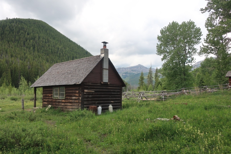
Glacier is the only place where I saw a grizzly. I caught the grizzly off guard, and it ran about 30ft in front of me on the trail and off into the dense flora. Glacier had the most abundant wildlife of the trail. Bull moose, elk, deer, and others made appearances. You’ll hear that Glacier is a tough place to start your hike. While it isn’t the easiest country, I don’t think it’s worth stressing about. I passed through a couple of front country campgrounds with full amenities and other cheap lodging, if you need the stay to recover; stores with snacks, a restaurant, and the like. The trail is, for the most part, well-maintained, and well-graded. It’s really a lovely place, and as long as you’re okay with sharing with other visitors, a great, slow introduction before the CDT gets a little wild.
The Bob Marshall Wilderness proceeds Glacier, and is a stark contrast in every way. No rangers checking your permit, no established sites, no people out for a casual stroll, partly burned, and the best of all—I walked through it feeling as if no one really cared that I was out there. There was an un-staffed ranger station around the middle with the sign “Keep the Bob wild,” and they’re doing a stand up job. If you’d like an alternative experience in “The Bob,” then check out the Bob Marshall Wilderness Open.
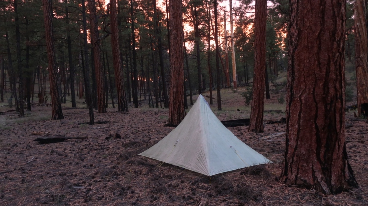
I dealt with at least a storm a day, and it was here where I learned that just because it was storming didn’t mean I had to walk through it. And so sometimes I didn’t. I was carrying a tarp, and I would simply find a dense tree, take a seat, and pull my tarp up around me and my pack until it let up. For 6.5 days, my feet were wet from the time I left East Glacier until Lincoln, Montana, because of storms, but also because there are a lot of (low) stream crossings.
The remainder of northern Montana included a lot of climbing, and frequent afternoon thunderstorms. I typically hiked about 28-30 miles a day for the first few weeks after Glacier, and the elevation gain on those days sometimes ranged from 6,000-7,500ft, which is significant compared to something you’ll see on the Pacific Crest Trail at that distance. I remember hiking 37 the day before hitching into Helena, MT, and was about a 100ft from hitting 8,000ft. Unless you’re a seasoned ultrarunner or hardened hiker you’re probably going to feel it, or at least I did. All of this considered, there’s also a fair amount of dirt and gravel forest roads and ATV/Jeep track in Montana, which can make for some easy miles in between the steep climbs, and, along with the flat expanse of New Mexico roads and desert plains, the CDT actually has a low average grade compared to the Appalachian Trail. That said, compared to the AT, the elevation at which one is hiking is consistently MUCH higher, and the weather is arguably more scary. The CDT through Montana also has some stretches without single track, which will have you walking across cow pastures and some stretches of pure cross country. Nothing technical, but not the fastest hiking.
Southern Montana/Idaho
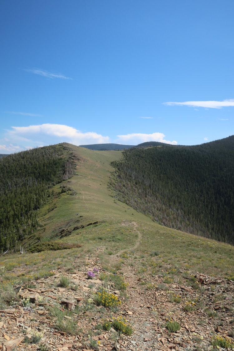
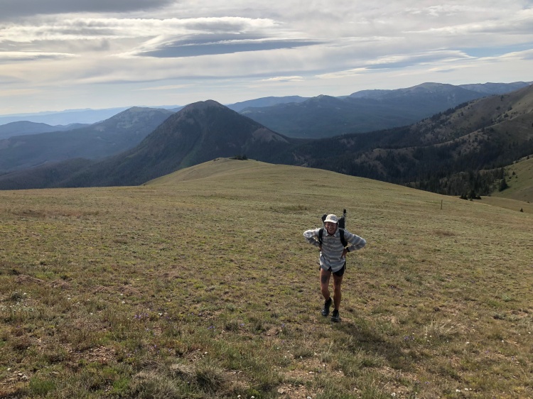
Dry, exposed, and pretty darn beautiful. The trail often stayed on the divide, and climbed to the top of things through here. There was less water here than up north, and it often required walking a few hundred feet to a half mile off the trail to get water, sometimes down and back up. This is just part of the experience, and requires some patience. Before Lima, I met Mayor, who had been through Montana before, and even though the terrain profile looked fairly mild, he cautioned me, noting that I should hope for clouds, and that it was a real roller coaster. It was. If there was something to crest, the trail went over it. The climbs were not long, but they were steep and a contrast to the contouring that a trail like the PCT does, going up a mountain gradually and avoiding the steepest part below the crest. We were looking to get to the highway to catch a 5’o clock shuttle, and we hauled it the whole way there, separately. My body could have used a zero in Lima after, but there wasn’t a lot of food for me there (celiac), and I was in a bit of a mental flow anyway.
There was never a really big bubble on the CDT, but I did catch up to traffic jam in Darby. I was used to either camping with one hiking partner, or alone. The night I left Darby, there were about 25 hikers at the base of a long, steep climb. Maybe everyone got bottlenecked at Logger Days, which had its final year in 2019. In any case, there wasn’t a lot of camping options in the area, and everyone congregated there in anticipation of an early start on the climb the following morning. Everyone was friendly, albeit loud into the night. I prefer a more low-key sleeping situation, so I started hiking before 5am the next morning and never saw most of them again.
The weather was often confusing along this section, as much of it was actually on the divide. Weather from the east, then from the west 20 minutes later…
I took the Mack’s Inn alternate before walking into Wyoming and Yellowstone National Park, despite a pretty lame (but downhill SOBO) 10 mile dirt road at the end, I would probably take it again. The Sawtell Resort campground was affordable, with laundry, showers, a pool, hot tub, places to charge your electronics, and restaurants + a small grocery nearby.
Wyoming
Watching the river roll by
Here comes that big old prairie moon rising
Shining down bright as can be
Up on the hill there’s a coyote singing
A Song of Wyoming for me
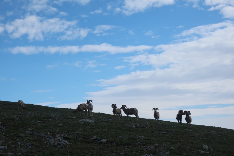
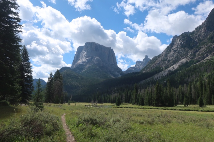
Probably the most conservative state. All things considered throughout the state, Wyoming was my least favorite, but did include one of my top three favorite places on the trail—The Wind River Range. Though I was only on the high route for 25 miles, it’s worth doing at least the Adventure Alan 80 mile high route if you’re hiking the CDT. Suck it up and carry the food and maps/gps. It’s non-technical world class wilderness, and you’ll be in shape for it. Load up on food in Dubois, and push to Lander. If you prefer a town break in the middle, Pinedale is an option. Lander is home to NOLS by the way, and that’s only the tip of the cool stuff there. It’s a climber town mostly, but the climbers are cool, too. I know there were hikers that by-passed Lander and mailed a box to South Pass City, but if you’re not in a hot rush, and are not dirt-bagging it the whole way, try and manage a stay in Lander. There’s decent lodging options, including free camping on soft ground in town. The NOLS food store is truly amazing when it comes to bulk food. It’s where they build their food supplies for NOLS guided trips.
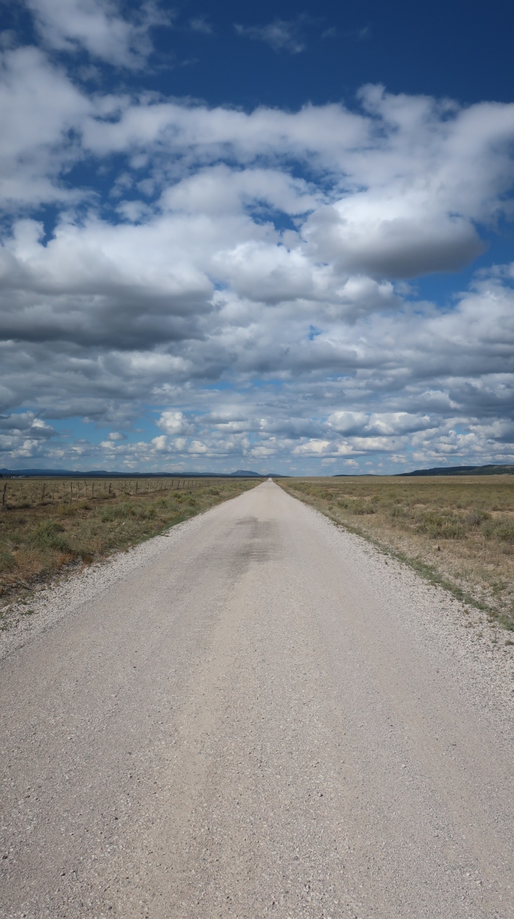
The Basin was the driest part of the trail. The longest carry was technically about 20 miles, but when I got to that next source, is was so fouled by cows, that I got a half liter for emergencies, but ended up pushing for thirty-three miles on four liters to a spring just north of Rawlins. I didn’t have any rain in the Basin, but there was plenty of wind, which can drive a person totally nuts, especially when paired with relentless sun and no trees for miles at a time. That said, the Basin really shined (or didn’t shine) at dawn and dusk, especially dusk. There are times around the 13th or 14th hour of hiking for the day when I put away podcasts and music, and really get into a flow, and get as close to a blank mind as I have ever been able. The Basin is conducive to this type of mode with its flat terrain and typically smooth tread.
When the tread isn’t smooth, it’s because of deep sand that requires a bit of mental fortitude. I also carried an umbrella for the first time in the Basin. The first time I stopped focusing on protecting it from the wind, it snapped. It did help, but in hindsight, I don’t think it was worth carrying. I got a replacement in Colorado, and it didn’t rain for nearly the whole month that I carried it. I sent it home in Salida, and I got into storms the following day. My hiking partner, who continued to carry his, had it during the storms, but we both became pre-hypothermic, and had to get in our shelters, so there’s that as an anecdote for you. It’s going through the “carwash” that gets you cold, not always the rain—unless your rain jacket is a leaky trash bag (more on that in a gear post).
Colorado – The Crux of a SOBO Hike
The promise in her smile
Shames the mountains tall
The promise in her smile
Shames the mountains tall
She bring the sun to shining
Tell the rain to fall
Despite the terrain being more physically demanding in Colorado than Wyoming, I welcomed the change—in terrain and in towns. I mean, I had celiac-safe gluten free pancakes first thing in Steamboat, and got a solid plastic bag from a gear store that lasted me all the way to southern NM. My bank account reflects me going through Colorado, yeah, and there was even some road walking in northern CO, but hey, I remember it fondly.
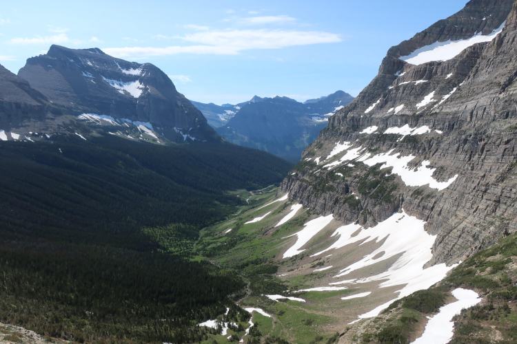
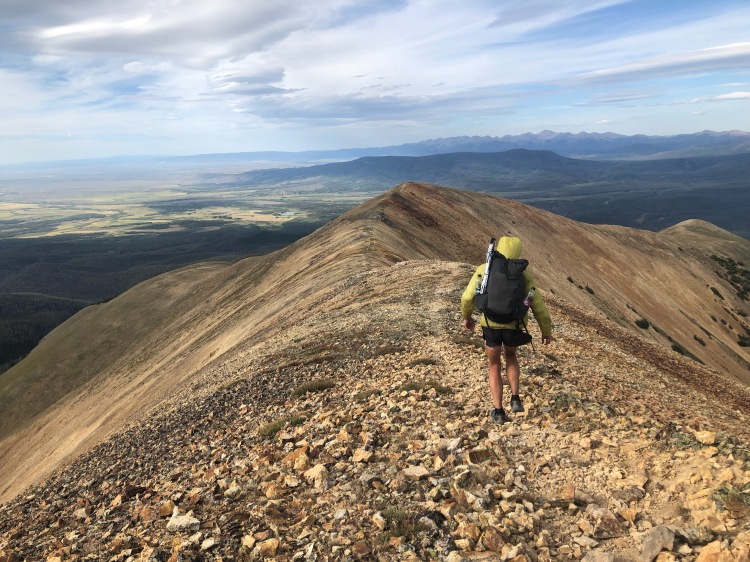
Colorado starts with some forest service roads, and they’re pretty washed out. You might run into some dirt bikes, ATV’s and trucks on the roads going to Steamboat, but after that, things get a little bit more hiker-only. That said, I never really felt like I was in the wild in Colorado, because at some point in the day I’d see a truck on a road, a house, or a group of people. Though you can’t argue that Colorado isn’t beautiful. It stays pretty high on the CDT, and there are some 13ers, and several opportunities to go over some 14ers. Go off trail, get on a high route. Have fun.
A couple of days before I was set to go over Grey’s Peak, my neoair inflatable sleeping pad started leaking flat after about 2 or 3 hours, and I couldn’t find the hole. I was also really exhausted, so I took the Silverthorne Alternate to Dillon where there’s an REI and a bathtub to find the leak. I about got stuck on the ridge here at dark, so be advised if climbing up to one of the long ridge walks late in the day. After Dillon, I walked a bike path to Frisco with a friend, then to Copper Mountain to start the Colorado Trail. If you need a vacation from the trail without taking a zero, I’d recommend the bike path through town. It’s a luxury. Hot food, coffee, natural food stores. The CDT’s a trip.
Weather was pretty spectacular through most of Colorado, low 40’s at night, and 55-75 during the day, the San Juans being the exception, where I met freezing rain, endless wet brush, and some washed out trail. The night before and the day I was planning on exciting CO into NM, it rained non-stop, and I was at 12,000ft+ for much of it, which prompted an unplanned stop in Chama from Cumbres Pass to get warm and dry. The storms don’t always just pass through in the afternoon. For reference, I finished Colorado on September 15th. Get through Colorado by Oct. 1st, or you’ll be on borrowed time with the first big snow fall for the year.
New Mexico
I’ve been absolutely terrified every moment of my life – and I’ve never let it keep me from doing a single thing I wanted to do – Georgia O’Keeffe
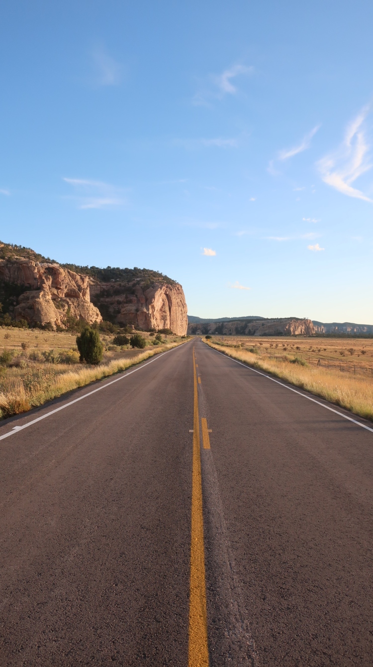
My favorite state of the trail. There’s a lot of road walking through New Mexico, both forest roads and paved roads, but it also has an amazing section in northern NM, across Mesas in central NM, down into canyons around Ghost Ranch, and the Gila Wilderness down south before entering the bootheel. The nights were clear, full of stars, warm, and monsoon season was over. September and October are considered the perfect time of the year to be there.
At this point, the days are getting quite short. I usually started hiking around 5:30am, and stopped around 7:30pm as it was getting dark. This was adequate time to hike comfortably and reach 35-38 miles a day. If you’re in to doing 40’s, NM is the place to do it, with the exception of the Gila because of the river crossings.
I didn’t see a lot of big wildlife. Mostly BIG spiders, a four foot rattlesnake, zippy lizards, a few elk up north, and one mountain lion. The mountain lion was in the Gila. The big cat was a surprise, and I’m pleased that he decided to take the high road out of the canyon.
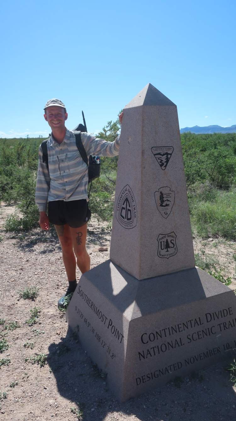
As I closed in on the end of the trail, the CDTC told me that only one person was offering shuttles from the southern terminus. He was booked, and it was too expensive anyway. So I packed out an extra day of food for my carry out of Lordsburg, expecting to tag the border and hike back 20 miles to the nearest highway that went to Hachita. From there I would have hitched to Lordsburg to catch a bus out of town. Up until the day after I left Lordsburg, I had not met a single hiker since entering NM. I was chillin’ in the shade at a water source, and a hiker walked up. It was a nice change up to hike alongside with someone, especially south of Lordsburg where the trail is mostly cross country around prickly shrubs all the way to the border. We started sharing stories about our experiences on the trail. He’d hiked the PCT, and some of the Oregon Desert Trail. He was a Hotshot on a wildfire squad, a pretty cool job for a hiker. It turned out that his dad was on his way down from Oregon to meet him at Highway 81, then was going to attempt to get down the forest roads to the last intersection before the border. He offered me a ride back to town if his dad made it. Our last night on trail, I camped a couple of miles ahead of him, 24 miles from the monument. I started hiking early the next morning, and made it to the last road intersection with the trail, and I saw his dad’s Subaru, and his dad walking my direction. We spoke, he extended an offer for a ride, and I continued to the border alone. I celebrated there in the middle of nowhere, a nice ranch house just across the border in Mexico, 23 days after entering NM from CO.
About 30 minutes later, father and son walked up to the monument together. We all took pictures of one another. We walked the two miles back to the road and began the long, bumpy road back to civilization. We talked until we had phone service. Then we were reconnected with the world. We chatted some more, and they dropped me off in Lordsburg where I would catch a bus to El Paso the following day, then a flight to TN with a layover in Dallas. When I arrived in Nashville two days later, I spent a half day wandering around East Nashville in the rain in my rain jacket and pack, hanging out in a running store, a grocery store, and a coffee shop until my mom showed up when I was sitting outside of an Aldi under an awning out of the rain after dark, thinking about how fast these journeys come to a close, and how at one point they feel like they’ll go on forever.
Towns
Favorite Towns –
- Steamboat Springs, CO
- Lander, WY
- Salida, CO
- Ghost Ranch, NM (not a town, but definitely a destination)
Least Favorite Towns:
- Leadore, ID
- Cuba, NM
- Rawlins, WY
Maps and Navigation
Guthook, Avenza Leys, Leys Paper + M3G Global Compass. I used Guthook about 95% of the time. I typically only used the compass when I got off trail. Rather than turning around and backtracking, I would find a game path in the general direction back to the trail, take a bearing on my compass, and follow that instead of holding my phone out in front me like a millennial goofball. The Ley’s paper map was helpful for broad planning the day before, but I had them printed on standard 8 x 11 paper, and I felt they were too macro for any real navigation. That said, they could get me out of trouble if my phone died. I met someone using the paper Bear Creek maps, and she said they were sufficient, noting that the only time she got misplaced on the trail was when following behind someone using Guthook.
2019 CDT Resupply
I have celiac, so I was 100% boxes. I will go into this more in a separate post.
What’s Out There?
There was a lot of beauty on the CDT: Rain drumming off of DCF right after I jumped under my tarp; running downhill to tree line seeking safety from hail and lightening; stopping for a heard of 150 elk in the Wind River Range; making a personal connection with a non-hiker and getting a renewed appreciation for the journey in southern Idaho after a long hot day under the sun; just catching myself before face-planting in a cow patty; summiting Mt. Flora and James Peak in Colorado; cruising down dirt roads in NM; getting “lost”; cowboy camping tucked away out of the wind and under a tree; just catching a post office before it closed for the weekend, then taking a zero after the big effort to arrive on time. Find your beauty out there.
Public Land and History
If you decide to hike the CDT, consider the native peoples that occupied/occupy the lands along the continental divide corridor—how rugged and wild the landscape is, and how they might have lived and respected the land. It’s colonized land, and it’s land that we don’t always respect enough. There’s a lot of public land out there to roam. Love it like your own, because it is.
CDT Resources
Swami’s notes on the CDT
P-Mags’s Quick and Dirty Guide to the CDT
Yogi’s Guide (Cross reference with Guthook and call businesses to confirm)
Ley Maps (Paper)
Francis Tapon on Yo-yo-ing the CDT
Native Land Map
Sie So’s CDT video series
John Zahorian’s CDT video series
Seeking Lost CDT video series
Dan Stenziano’s CDT video series
