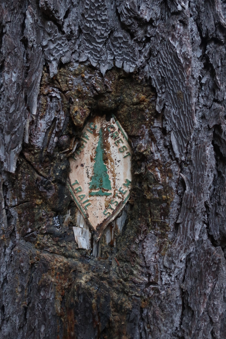
I hiked the Pacific Crest Trail in 2018. I didn’t take any notes during my hike, or videos. I took a lot of photos, but haven’t bothered to try and place most of them with the timestamps and exact locations, but I have an idea for most. I also can’t seem to configure cloud based programs the way I want, and my computer’s storage is at capacity. Too much time on trail, I guess. I finished my hike and figured with enough time that some type of story would materialize for me to offer while you plan your own thru-hike of the PCT. What follows is just that, a condensed summary with links (available soon) at the end to some additional text on the particulars. In case it matters, I hiked about 90% of the trail alone.
I began my hike on 5/10/18, and, due to a wildfire closing off miles, I finished the trail at Rainy Pass, about 60 miles from the border, on 8/29/18. I also skipped 60 miles due to heavy smoke and a fire in close proximity between Seiad Valley, CA and Callahan’s Lodge outside of Ashland, OR. To be clear, there was a viable alternate that included around 20 miles of road walking. I didn’t take it.
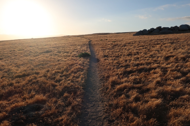
With the exception of day 1 and the Mojave and Sonoran desert sections, conditions in Southern California were mostly mild. The exposure was high, nonetheless. Temperatures ranged from the high 70s to the low 90s for most of that section, no rain, and lots of wind. The nights and early mornings were regularly chilly and wonderful. When I arrived in Aqua Dulce on June 1st, which I remember because it was my birthday, the heat was in full effect, breaching 100 daily, and would continue until the Tehachapi/Mojave area, through Casa de Luna, Hikertown, and the LA Aqueduct. I contracted norovirus somewhere in this area, and woke up in pain under a windmill in the wind farm on the north end of the aqueduct, 23 trail miles from the road to hitch into Tehachapi where I lost plenty of weight, fast. High temps continued north of Tehachapi until around Kennedy Meadows North, but more like low to mid 90’s, which was a relief.
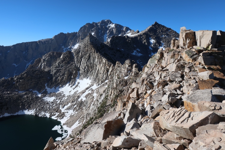
The Sierra was pristine in every way. The sky was clear, temps were 70’s during the day and low 40’s-50 at night. No rain, little wind, low-ish stream crossing, non-technical snowfields. The mosquitos were ferocious. I entered around 6/13. I remember this because I recalled it being around Ray Day. I hiked the entirety of this section alone. I also hit the thru-hiker bubble here, passing about 25 northbound hikers each day. Maybe I went too fast, but these were my lowest mileage days of the trail outside of the first 3 weeks when I was adjusting to daily hiking in SoCal. The flat camp spots were abundant.
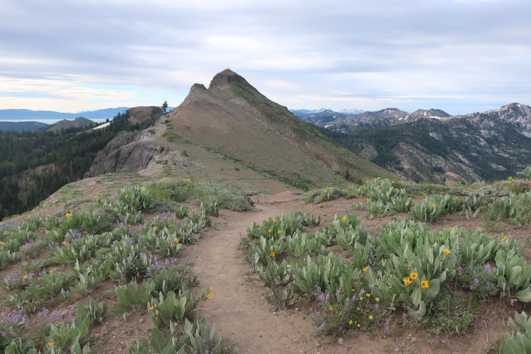
Northern California was fast. As expected, hikers began to quit here. I eavesdropped on one guy (there was no good place to sit in this area but 15 feet away from him) while he began calling friends and family reasoning why it was time for him to get off the trail. I hope he didn’t regret it. It’s worth noting here that the PCT and any trail of similar length is not a vacation. If you pursue it as one, I don’t think you’ll go to the end, which is fine. Everyone gets tired of being on vacation. Nor Cal offered endless wildflowers, long-exposed ridgelines, easy terrain, and too-warm nights. I slept the worst in NorCal because of the nighttime heat, and ended up sleeping 10+ hours a night when I was in a town, which was too often in this section. The trade off is a slight decrease in mosquitoes buzzing in your ear and biting every bit of exposed skin and through your socks. Bug dope or full coverage is still suggested. I hoped Scott Williamson would be around in Truckee to give me a hitch when I visited for a few hours for some new shoes and a hot meal. Alas, he was probably working and planning for his next FKT. I ended up in the expensive but cool resort town of South Lake Tahoe on 7/3. Go figure.
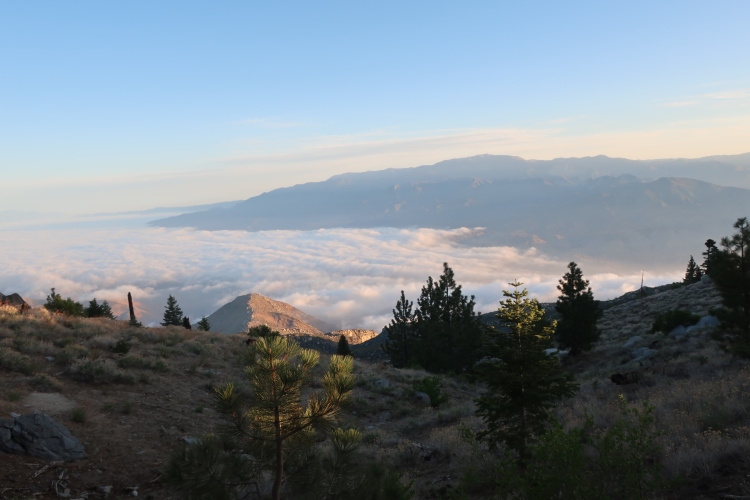
It was all about the wildfires in Oregon until the Sisters Wilderness. My first morning in Ashland I woke up to ash on my bivy. I wasn’t as alarmed as I maybe should have been. I didn’t see any flames, I didn’t have cell service, and it was smokey in every direction. Business as usual. The fire didn’t bother me too much with the exception of when I arrived at Crater Lake. I know a lot of people look forward to this place going through what is a relatively uneventful state, and so was I. I couldn’t see a thing.
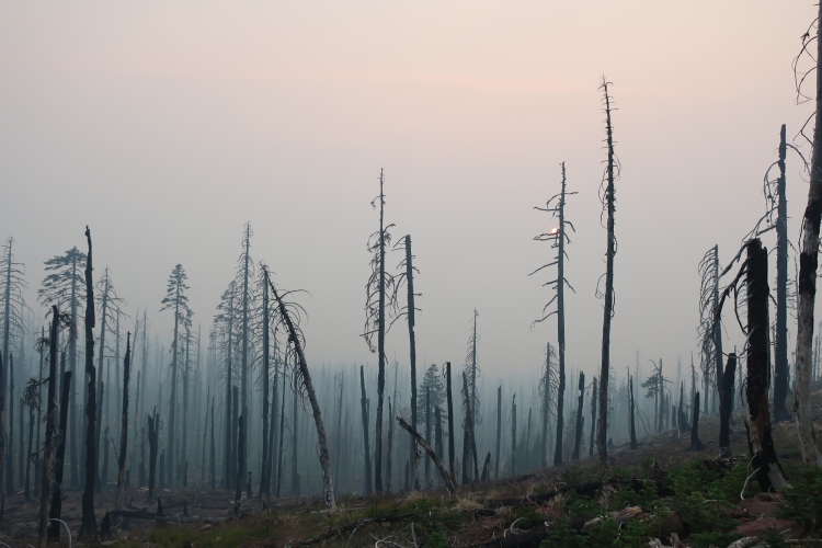
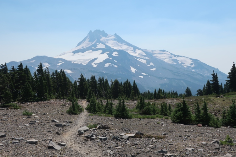
The shuttle in the National Park was closed due to the smoke levels, and the smoke was dense enough to hurt my throat. I joked to my family that I was able to hike in it out of immunity from from all of the ear infections that I had as a child when staying with my cigarrette-smoking grandma. I hiked the Rim Trail with no one around save a car on the nearby road every once in a while. I’d always hear it before I saw it because of the low visibility. The Sisters Wilderness is one of the few Oregon highlights I was able to see. The other was going to Bend. Bend is far away from trail, and Sisters is perfectly adequate for resupply and getting what you need, but Bend is a sweet place, and I don’t even drink.
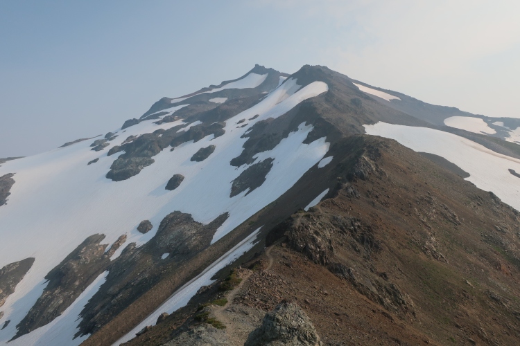
The smoke and fire alternates were a big part of my experience in Washington also. It rained during the day for the first time on trail the day I entered. It’s not the rain that gets you, it’s the overgrown flora. That stuff is cold and endless, and I didn’t bring the right gear. I was able to see a portion of the Goat Rocks in smoke, and it was still a place to be on trail. Just shy of the Northern Cascades, I got into some rainy, cold weather, and became pre-hypothermic. Since I didn’t have rainproof gloves or any rainproof bottoms, I didn’t feel safe continuing to hike, so I pitched my tarp and got in my quilt, and I stayed there for 36 hours until the rain stopped and the sun was slated to rise in a few hours.
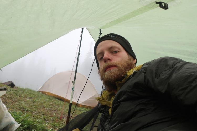
I only knew the sun was coming because of a friendly hiker fetching the forecast with his Garmin Inreach. I still won’t bring one of these with me on my next hike, but that’s a solid reason to bring one if you’re on the fence. After that, the smoke, rain, and fog lifted, and I was able to see Washington in all of its glory. A few days later, I got to a public phone in Stehekin after not having service for ~6 days, checked in at home, and made my way to Rainy Pass to end my hike, hiking at record pace for me the last 16 miles with the help of a little adrenaline and that there were apparently a lot of day and overnight hikers at the trailhead, potentially heading to Seattle where I wanted to go. I made it there, stood at the side of the road, and the first car stopped for me, two guys who’d been hiking for 3 days in the Northern Cascades on their way back home to Seattle. The guy driving grew up in Washington, and played tour guide all the way to Seattle. They drove me all the way to a friend’s apartment.
Write to me with questions about particulars. I’m happy to help how I can. And find me on IG @treytamari
There were a couple of things that I was especially interested in during my hike—food as a celiac, and gear not beer (I never listen to the Trailshow). See:

1 comment